
#Sydney REVIEW – Seeing Sydney, Knowing Country at the Museum of Sydney (Free Entry)
We recently headed into the city to check out a few exhibitions, including Seeing Sydney, Knowing Country.
This fascinating exhibition explores Sydney in the late 18th century following the arrival of British colonists who surveyed and mapped the land. It was interesting to learn that Governor Arthur Phillip drew the first boundary, a circle traced in the sand when he arrived at Manly Cove in January 1788. This simple act marked the beginning of the dispossession of First Nations peoples and their displacement from the land they had cared for over 60,000 years.
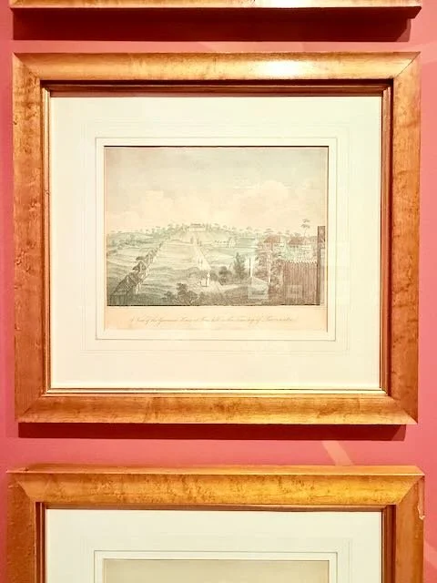
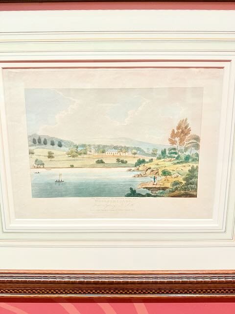
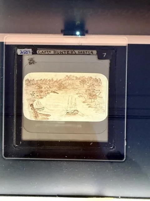
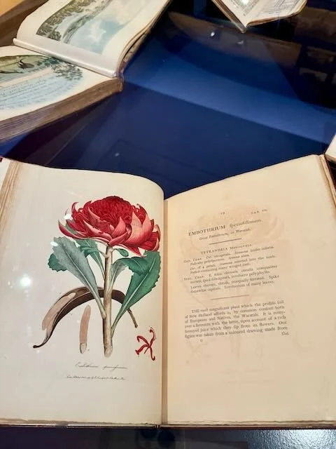
The exhibition features a range of historical maps, plans, sketches, drawings, paintings, artworks and objects that help tell this important story.
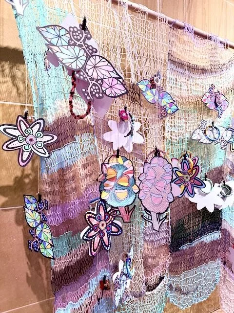
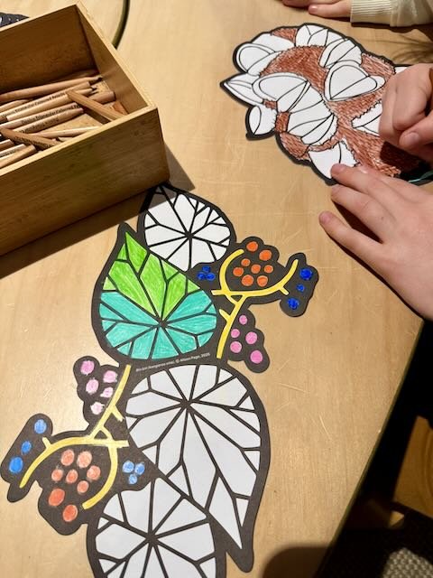
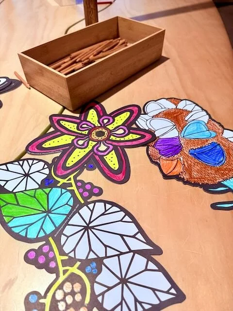
Free and showing at the Museum of Sydney until 2 November. There’s also a free colouring station just outside the exhibition, which we always enjoy visiting.
#museumofsydney #seeingsydneyknowingcountry #museumsofhistorynsw


Today, Sydney is known for its iconic harbour, scenic foreshores, bushland reserves, and ever-growing urban and suburban areas. But how were its landscapes experienced and understood in the past?
The British colonists who arrived in Australia in the late 18th century surveyed and mapped a land that was foreign to them, carving it up into a patchwork of Crown land and private property. Governor Arthur Phillip drew the first boundary: a circle traced in the sand around his arrival party at Manly Cove in January 1788. This communicated to the Gayamagal people who had gathered there that they should not enter. Phillip’s act signalled the start of the dispossession of First Nations peoples and their displacement from the land they had been custodians of for 60,000 years.
Seeing Sydney, Knowing Country explores the development of the NSW colony through a selection of significant historical maps, plans, sketches, artworks and objects – including the first land grant issued in the colony – from the Museums of History NSW and other institutional collections, alongside picturesque colonial landscape prints from the collection of Beat Knoblauch. Inscribed over this colonial perspective is an innovative artistic intervention, led by designer Alison Page, that layers First Nations understandings of Country. Traditional owners’ knowledge of Country offers a way to gain a deep understanding of the landscapes we encounter in Sydney today, from the other side of that circle in the sand.
This exhibition was developed in collaboration with Dharawal and Yuin artist and designer Alison Page and the Sydney Coastal Aboriginal Women’s Group.
Event Details:
Dates: 17th April – 2nd November 2025 10am to 5pm
Location: Museum of Sydney
Cost: FREE